Senior Scientist Pacific Northwest National Laboratory Richland, Washington
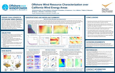
Presentation Description: Interest has been rapidly increasing in the siting, buildout, and efficient operation of offshore wind plants to meet domestic renewable energy targets. With a recent push to deploy 30 GW by 2030 and to accelerate investments in offshore wind turbines, breaking down barriers to allow increased deployment is a top priority of the Department of Energy (DOE) offshore wind strategy. One such barrier is the high uncertainty in existing model simulations to accurately predict the offshore wind resource. To accurately assess the hub-height wind resource and model uncertainty, the U.S. DOE in collaboration with Bureau of Ocean Energy Management deployed two lidar-equipped buoys off the coast of Morro Bay and Humboldt within the wind energy regions. These buoys were deployed for an entire annual cycle and provided measurements of winds and turbulence (from surface to 250 m above sea level), surface meteorology, sea surface temperature, solar radiation, 2-Dimensional wave spectra, and ocean current profile of speed and direction (publicly available at https://a2e.energy.gov/about/dap). In this presentation, we will provide a summary of the wind resource off the U.S. West Coast, sources of reanalysis model errors, wave model calibration using buoy data, and finally a systematic assessment on the advantages/disadvantages of coupled wind-wave modeling for offshore wind resource characterization using targeted case-studies conducted over the U.S. West Coast will be presented.
Learning Objectives:
List the various observations from DOE lidar-buoy data and procedures to calibrate wind-wave models using these observations
Describe the ability of state-of-the-art models to characterize the atmospheric and oceanographic conditions off U.S. West Coast
Objectively assess model reanalysis/forecasts using the buoy data and aptly use existing modeling tools for their own projects

.jpg "Raghu Krishnamurthy, n/a photo")